 OSU Pytheas - Data Catalog
Relational database SQL
Type of resources
Topics
Keywords
Contact for the resource
Provided by
Formats
Representation types
Update frequencies
status
Scale
-
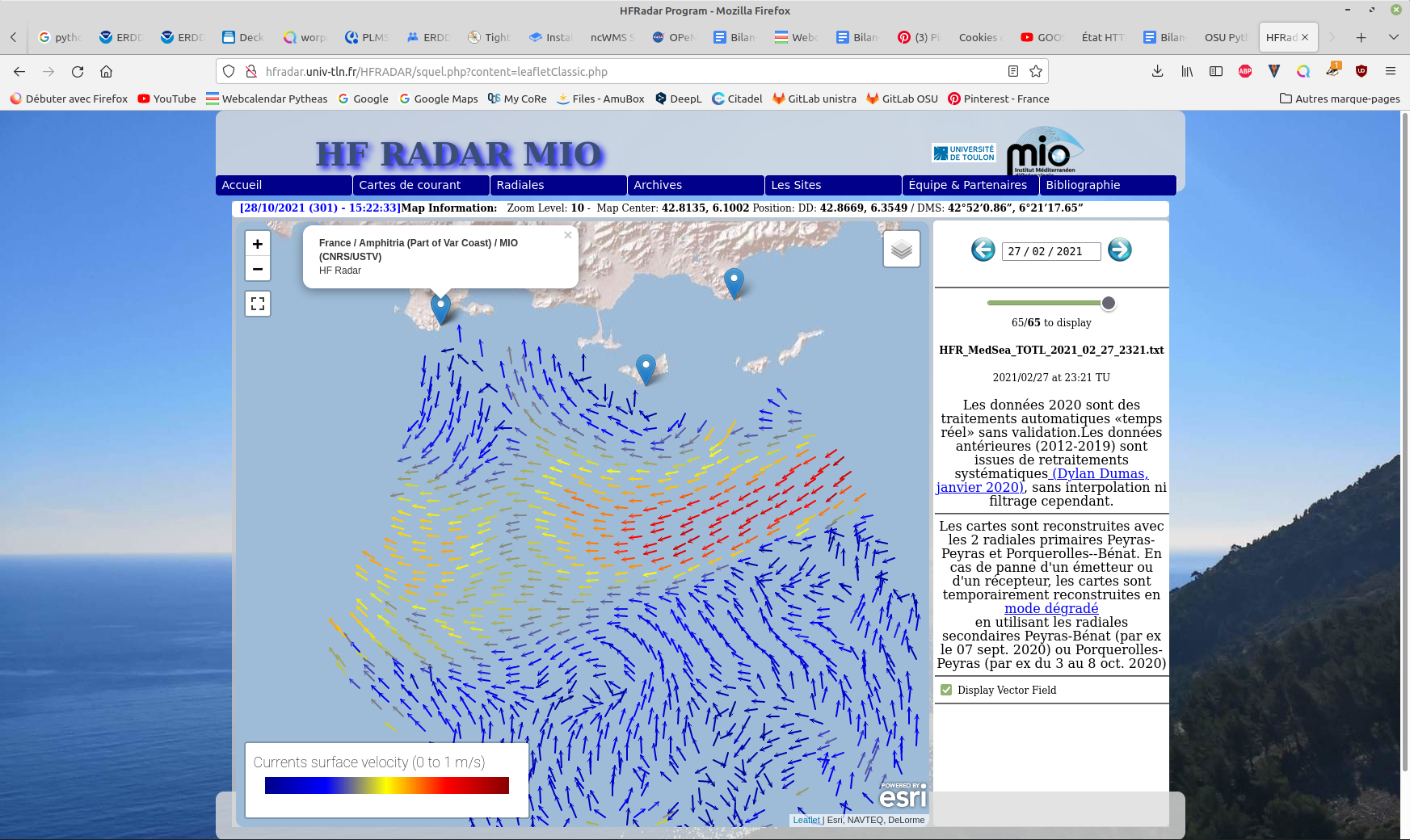
Hourly High Frequency Radar (HFR) surface current data (ocean surface velocity) from 2 different stations located on the French Mediterranean coast (Toulon), processed in real time. The total velocity is then reconstructed from the filled radial velocity files, and projected onto a cartesian grid of 1km x 1km. The HFR data comes from two systems, one monostatic radar PEY (located at Fort Peyras, La Seyne sur mer), and one bistatic POB (receiver located at Cap Bénat - Bormes les Mimosas, and transmitter on Porquerolles Island). The HFR data is initially hourly sampled. The radial velocity are processed by an algorithm of Directional of Arrival Finding with a self-calibration method developed by our laboratory. HF radar sites : - Peyras : 43°03'47.4"N, 5°51'40.3"E - Porquerolles (transmitter only): 42°58'59.0"N, 6°12'15.3"E - Bénat (receiver only): 43°05'31.5"N, 6°21'26.5"E EUROPEAN DIRECTORY OF MARINE ENVIRONMENTAL RESEARCH PROJECTS (EDMERP) : - SICOMAR PLUS(12402), IMPACT(12271), MOOSE(11574), and JERICO NEXT(12227) EQUIPEMENTS: - High Frequency Surface Wave radar WERA from HELZEL MESSTECHNIK PARAMETERS: - sea surface current Citation: - Dylan Dumas, Charles-Antoine Guerin, Self-calibration and antenna grouping for bistatic oceanographic High-Frequency Radars,2020, https://arxiv.org/abs/2005.10528